

Digging underground is not only a time-consuming task, but the dangers associated with operating heavy machinery don’t just occur on the surface. We have previously explained why you need a good plan before digging underground and the potential costly repairs that can occur if all precautionary measures are not taken. That’s why professional certified locators use industry leading technology to minimize underground risk.
A common tool in a locator’s arsenal is a Ground Penetrating Radar often referred to as a GPR. Utility locators such as STS Locating Services who operate throughout Victoria including the Surfcoast, Bellarine and Ballarat regions are experts in using this technology. GPR technology is a method of capturing images underground through the use of electromagnetic energy, producing an accurate subsurface map and locating critical underground infrastructure, minimising risk of damaging these utility lines.
How does GPR work?
A Ground Penetrating Radar uses a transmitter to send radio wave signals in the 1-1,000 MHz frequency range directly into the subsurface or ground material such as rocks, concrete and soil. When these signals hit an object underground, they bounce back, reflecting, refracting, and scattering to produce an accurate map of what lays beneath. A GPR utilises an antenna to receive and record the reflected signals to create this map. Using the GPR, depth and position of an object can be determined as well as 2D and 3D shape mapping.
GPR’s are extremely reliable in detecting non-conductive utilities, such as sewer pipes, gas pipes, water pipes.
But why do I need a GPR?
Services such as Dial Before You Dig (DBYD) and utility maps of a commercial or domestic property are a great way to get an understanding of certain utilities in the area but are not always complete or have the most up to date information, especially on private utilities. Natural ground movement/ human error can result in the wrong information being interpreted.
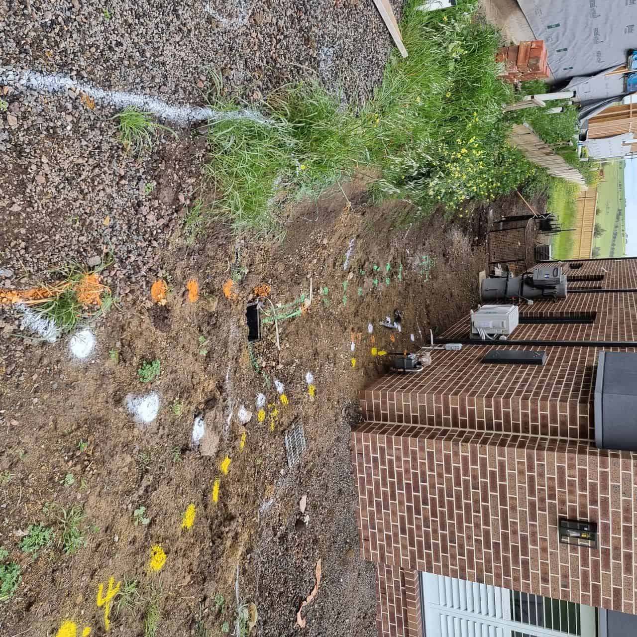
This make a GPR extremely beneficial to not only confirm the position of known underground services but help you identify the unknown as well. The real time aspect is also highly desirable as forgotten and undiscovered underground services can be found, prior to ground penetration.
Unlike other methods of service locating, a GPR can also help to characterise subsurface properties and identify the type of material that lay underground in any given utility. It does so by gathering a large dataset and interpreting the results to make subsurface geo locating possible.
At STS locating we can provide a comprehensive ground scan using the very latest GPR technology to get your excavation work off to a great start. Our brand new GPR machine is about to join our fleet of professional gear to give our customers highest quality service across Victoria. Contact us to learn more about our services and how we can help you kick start your project.